The first winter approached … an air depression coming from Türkiye will affect Lebanon on this date

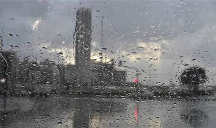
The Lebanese Daily Weather page reported that a state of air instability strikes Lebanon and the neighborhood from the day before Monday. This situation precedes temperatures within its seasonal rates or a little lower, especially a mountain with the possibility of light, non -influential rain, provided that the possibility becomes high early next week, where the rainy cumulative clouds are concentrated as a first degree on the Syrian coastal strip in Lebanon regions Akkar and the neighborhood.
For its part, the Department of Estimates at the Meteorological Authority indicated that a moderate summer ritual controls Lebanon and the eastern basin of the Mediterranean during the next few days with temperatures within its seasonal rates on the coast and higher than them over the mountains and inside, until next Monday, where it turns into a relatively volatile due to a low -effective low effect in the middle of Turkey. Covering the coming days:
Saturday
Little clouds in total with local fog on the highlands and a slight decrease in temperature on the mountains and remain without adjusting the coast and at home.
Partially cloudy with a decrease in temperatures, especially in mountainous and internal areas, the wind is active and thick fog is formed on the northern highlands with the possibility of spraying evening.
Partially cloudy to cloudy with active winds and a limited decrease in temperature. Fog is formed on the highlands and expects the emergence of individual thunderstorms from the afternoon, especially the north of the country, with local rains.
Partially cloudy to cloudy with an additional decrease in temperatures, fog forms on the highlands from the afternoon, with the possibility of separate light rain.
The post The first winter approached … an air depression coming from Türkiye will affect Lebanon on this date appeared first on 961 tobay Lebanon today.


